

Points of Interest
What to do in a land so vast? As long as you are prepared for off-road travel, the possibilities are endless. Here are just a few of our favorite places to visit, and a little trivia to boot. As always, be prepared when traveling in Black Rock country.
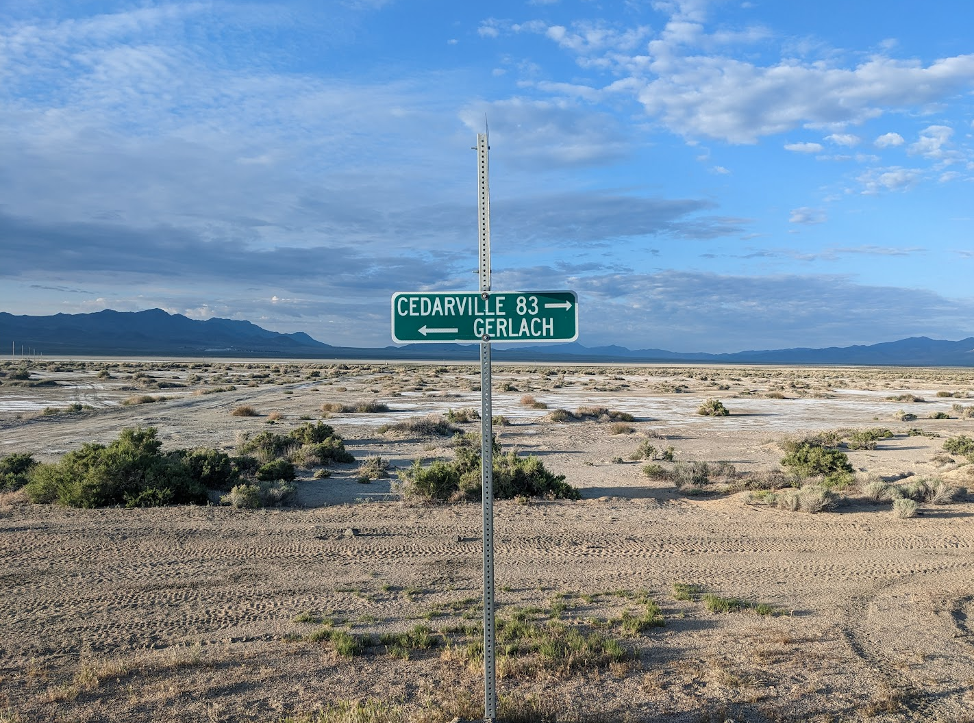
Black Rock Desert Playa
The land speed record of 763 miles per hour was set on the northwest part of Black Rock Desert Playa by a British team in 1997. The 20,000 pound car, powered by two jet engines, was driven by Royal Air Force pilot Andy Green.
This was the first time a land-based vehicle broke the sound barrier. Few places on Earth are flat enough over a long enough distance to safely allow a vehicle to reach such speeds and come to a stop!
Because the Thrust SSC Project Team practiced Tread Lightly! and Leave No Trace outdoor recreation ethics, there is no visible evidence on the ground of this historic event.
The Playa’s Role in Film History
Gary Cooper made his acting debut in 1926 in a western movie called “The Winning of Barbara Worth,” which was filmed in the southeast part of the playa.
This area is closed to motorized use to protect the few remaining traces of this epic of the silent movie era. In the film, you can see that the scenery visible to today’s visitors to Black Rock-High Rock Country was not materially changed by human activities during the tumultuous 20th century.
Trego Hot Springs
Trego Springs sits between the railroad tracks and Jungo Road to the south. Accessed via Jungo Road or the playa during summer, the hot springs source feeds a hundred-yard creek deep enough for swimming. This is a good day use site with camping and ATV exploration on the numerous roads and trails outside the NCA in the vast valleys to the south.
Soldier Meadows
Soldier Meadows is a spring-fed wetland that has been inhabited for thousands of years by fish and snails that live nowhere else on Earth. Here you’ll also find a rare, low-growing, yellow-flowered cinquefoil.
Prior to the designation of the NCA, the popularity of the warms pools and streams here caused adverse impacts to these sensitive species. To protect the unique plant and animal life, camping is restricted to designated, primitive campsites only.
There is one group camp area with small cabin, table and vault toilet used on a first come, first served basis.
Soldier Meadows Ranch
Located just a few miles from the warm pools and campsites, Soldier Meadows Ranch was the site of a winter cavalry outpost which gave the place its name.
Shortly after the military left, ranchers moved in to graze livestock on the meadows; a use that continues today. Visit Soldier Meadows Ranch for information about the privately owned cattle ranch which operates a lodge for visitors.
Fly Canyon and High Rock Lake
High Rock Lake and the unique geological features in Fly Canyon were created about 11,800 years ago after a large rockslide closed the original (Box Canyon) outlet to High Rock and Little High Rock Canyons.
This new outlet (Fly Canyon) cut a narrow canyon that empties at Soldier Meadows. One special geological feature in Fly Canyon is the potholes. The potholes were carved by whirlpool action of sand and gravel in the stream when the massive flood waters washed through the canyon.
Hardin City
Pictured above, Hardin City was a mining camp established in 1866 when prospectors thought they had found James Hardin’s lost deposit of silver.
Excitement ran high, and investors, prospectors, and others swarmed to the area and erected two stamp mills. When no silver materialized, the town quickly disappeared.
All that is left today are a few twisted pieces of metal and short segments of the stamp mills’ stone foundations. A 4-wheel drive road leads to the site, which is marked with an interpretive sign placed there by the Oregon-California Trails Association.
Stevens Camp
The remnants of an old buckaroo camp, Stevens Camp now includes a primitive three-room cinder block cabin with a propane and wood stove (bring your own wood and propane, regulator, and fittings). Bunk beds, vault toilet, livestock water (non-potable for humans), corral and loading chute are also present.
Road access to this site is generally good and there is sufficient room to park several horse trailers. Dispersed camping sites are also in the area.
Support Local Businesses! Here is a list of some places to visit/things to do in the area:
Landmarks at mile markers:
Numana Paiute Tribal Fish Hatchery
The Lahontan cutthroats of Pyramid and Walker Lakes are of considerable importance to the Paiute tribe. These trout, as well as cui-ui, a sucker found only in Pyramid Lake, were dietary mainstays and were used by other tribes in the area. The Lahontan fishery program emphasizes the connection of fishery management with the health of the lake and riverine habitats upon which species depend.
Visit a section of historic trails from the greatest mass migration in American history during the 1840s and 1850s when over 250,000 emigrants traveled to the goldfields and rich farmlands of California. Great for hiking and biking!
In 2013 researchers determined that humans created the petroglyphs at Winnemucca Lake between 14,800 to 10,500 years ago making them the oldest known petroglyphs in North America.
Be sure to check out Snoopy Rock, which is a Snoopy face painted on a limestone tufa tower.
This trail follows the entire length of the Truckee River and is great for hikers and cyclists.
Derby Dam is a diversion dam on the Truckee River, located between Reno and Fernley in Storey and Washoe counties in the U.S. state of Nevada. It diverts water that would otherwise feed Pyramid Lake into the Carson River watershed for irrigation use.
Pyramid Lake Paiute Reservation
The area of the reservation contains 475,000 acres and Pyramid lake is the largest remnant of ancient Lake Lahontan.
Pyramid Lake Museum and Visitors Center
Pyramid Lake Paiute Reservation visitors can stop by the museum to see exhibits on the tribe’s culture and history.
Staff favorite: As Long As the River Shall Run: An Ethnohistory of Pyramid Lake Indian Reservation
A great link to see what you can do in town!
Gerlach locals’ favorite! A 1-mile long road parallel to highway 34 with funky art installations made by local artist, DeWayne “Doobie” Williams.
Pottery gallery and store featuring beautiful and unique pottery made by local artists, John & Rachel Bogard.
Excellent hiking area with a great view of the playa. Also, this is a historic murder site of a territorial debacle in 1865.